

Posts in category 'Places To See In Central Oregon'
Subscribe and receive email notifications of new blog posts.
 RSS Feed
28
Collier Cone and Collier Glacier is a Challenging Central Oregon Hike on the Pacific Crest Trail
The Pacific Crest Trail Abuts Collier Cone
It is estimated that hundreds of thousands of people hike sections of the Pacific Crest Trail each year, but only a few hundred succeed in completing the entire 2650 +- miles. In Central Oregon, the PCT runs next to the Cascade Mountains, with sections on the east side and other sections on the west side of the seven prominent peaks. Collier cone is next to North Sister with Collier Glacier lying in the saddle between North and Middle Sister abutted on the west by Little Brother. Over the years the glacier has been in retreat with the greatest loss prior to 1950. The wet winter and cooler spring experienced in 2025 compared with 2023 appears to reflect more snow and more water in the glacial lake later in the summer.
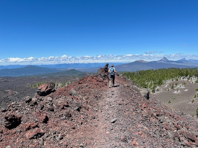
Access to Collier Cone can be found through hiking the Obsidian Trail, Four in One Cone, or through Lava Camp Lake. All approaches come with at least seven miles one direction which is why there are few people who visit Collier Glacier. Even though the PCT runs right next to Collier Cone, climbing to the moraine bordering the lake takes another third of a mile one direction, which is probably why few PCT hikers take the time to see the view.
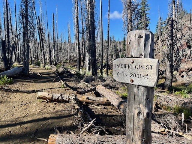
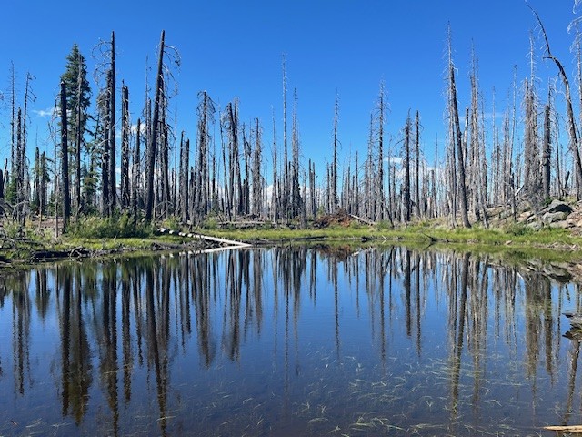
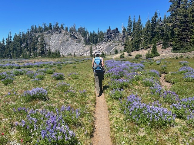
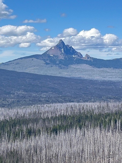
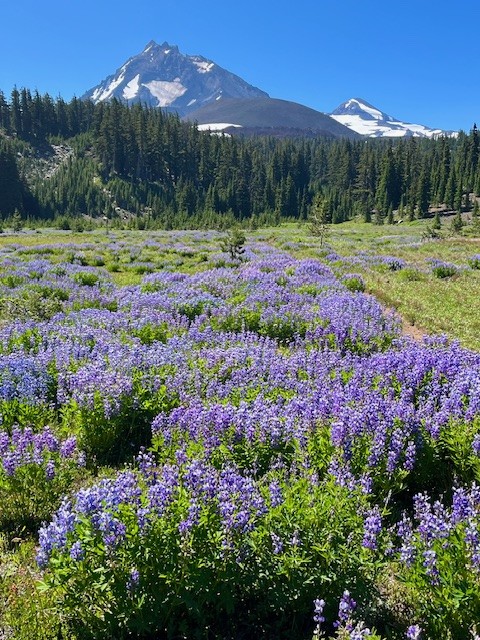
The hike from Lava Camp Lake starts in burned forest, the result of 2017's Milli Fire. However, there remains untouched forest near Matthieu Lakes and the lava fields were natural fire breaks. The meadow, which is the junction for Scott Trail and the PCT, was stunning in July 2025 with the lupines at their peak. California tortoiseshell butterflies were abundant and filled the dry stream beds in the meadow and circled in groups by the lava fields. The total in and back hike from Lava Camp Lake is 15 miles with 2400 feet of elevation gain.
 |
 |
 |
 |
 |
 |
14
Climb Maxwell Butte For Unobstructed Cascade Views
Maxwell Butte is a Little Known Central Oregon Hike
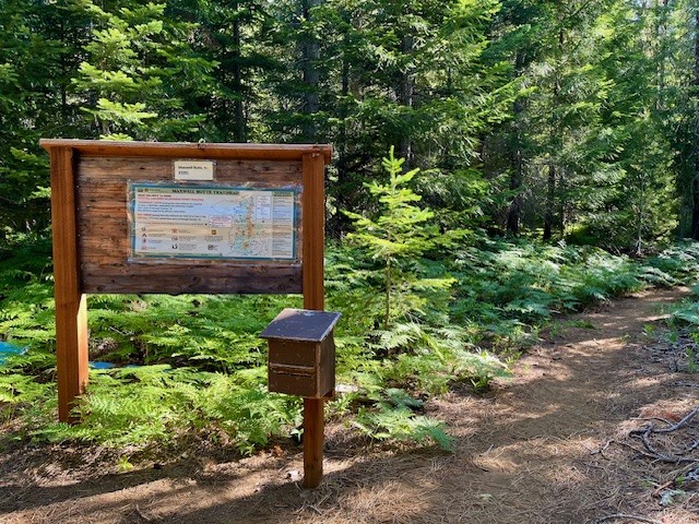
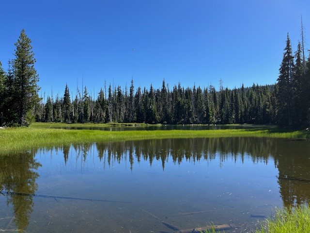
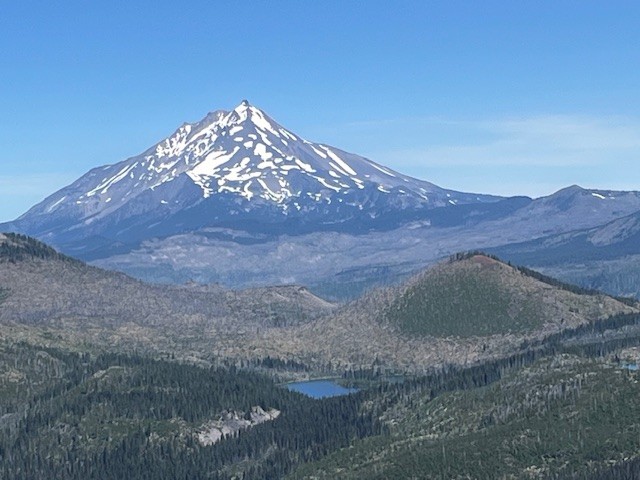
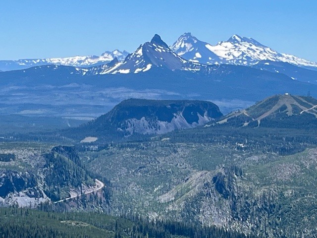
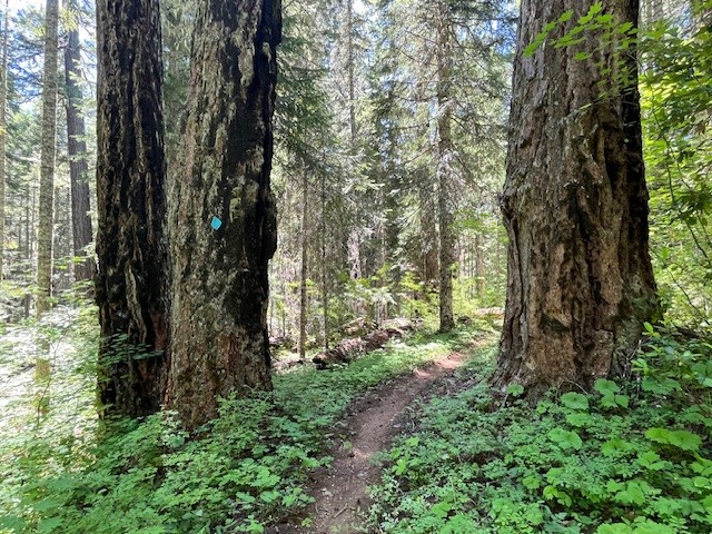
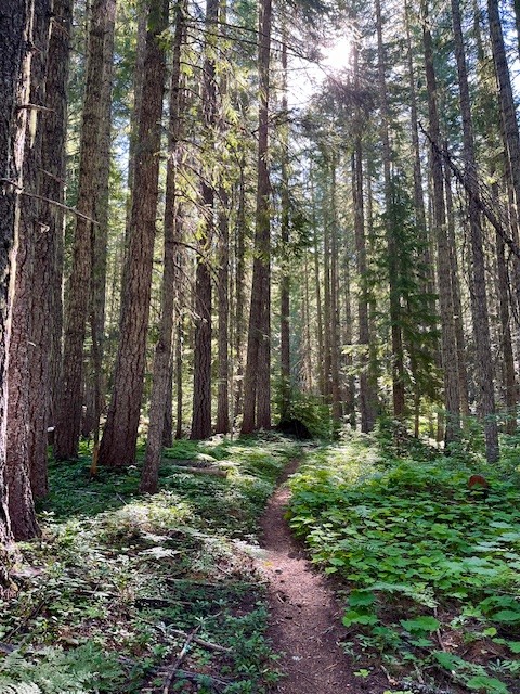
While the higher Cascade Mountain hikes were still snow covered in mid July 2025, Maxwell Butte was snow free and offered spectacular mountain views. On July 12, only one other hiker was seen the entire day and while mosquitoes were a problem in the morning, they were gone once the sun rose. The hike from the trail head to the top of Maxwell Butte is a moderate, forested trek with 2453 feet of elevation gain over 5.10 miles one way; the last steep mile up the butte can be more challenging with switchbacks on pumice on parts of the path. However, the higher hikers get, the more the views of Mt. Washington, North and Middle Sister, The Husband and the Wife become visible until near the top, the full view of Tam McArthur Rim and Broken Top can also be seen. Hoodoo Ski Bowl and Hayrick Butte really stand out as well in the topography in a way that is not visible from lower elevations. Looking east, Three Fingered Jack dominates the skyline and north, fabulous views of Mt. Jefferson, Mt. Hood and the eight lakes basin are seen.
For those wanting a good, challenging 10+ mile hike that is rarely crowded and does not require anything other than a self-issued day pass at the trail head, Maxwell Butte may be a good option, especially when the passes for the most popular high Cascade hikes are not available.
 |
 |
 |
 |
 |
 |
10
Browder Ridge Hike Is Blooming!
The Wildflowers and Views Are Fabulous at Browder Ridge
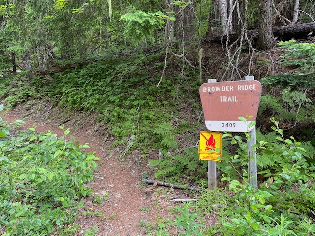
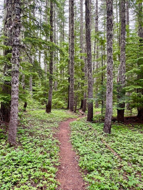
Iron Mountain remains one of the favored Central Oregon wildflower hikes that many people on both sides of the Cascades enjoy yearly. However, the lesser known and less traveled Browder Ridge offers even more wildflowers and views unseen from Iron Mountain. The easiest access to Browder Ridge Trail is near the Iron Mountain trailhead a few miles up paved forest service road 15.
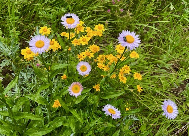
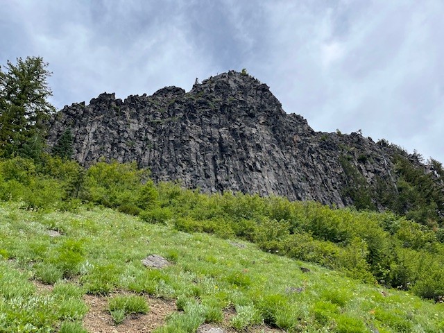
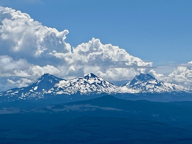
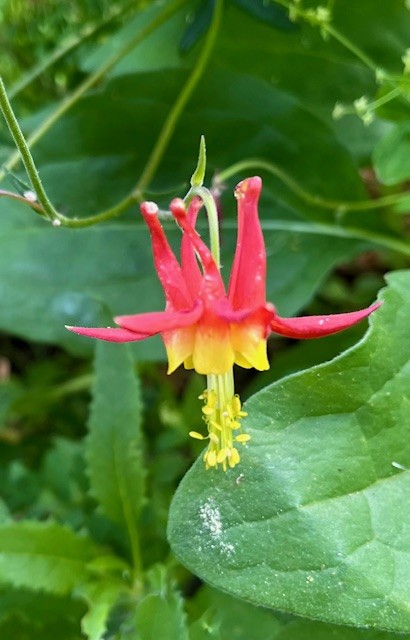
In early July 2025, the wildflowers were blooming and the air was clear, providing outstanding views of multiple peaks of the Cascades. The hike from the trailhead off forest service road 15 climbs over 2300 feet to the peak at the top of Browder Ridge at a distance slightly more than six miles one direction. Varied shade loving and sun loving wildflowers can be seen throughout the hike.
 |
 |
 |
 |
 |
 |
10
The 48th Annual Sisters Oregon Quilt Show was Held July 8, 2023
The 48th annual Sisters Quilt show, celebrated as the world's largest outdoor quilt show, was held last Saturday, July 8th. Quilts could be seen hanging from walls, porches, in windows, on fences and over balconies. It was estimated that over 1300 quilts were displayed throughout the town with over 10,000 visitors from all 50 states as well as some foreign countries. This year's theme was "Hidden Stories" and it was interesting to try to figure out the stories in these beautiful works of art.

6
Tumalo Mountain Hike June 2023
Tumalo Mountain Trail Covered With Snow
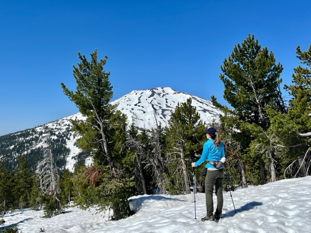
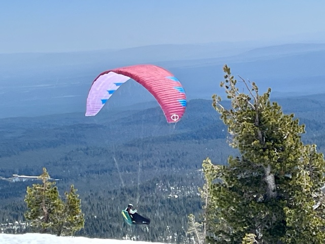
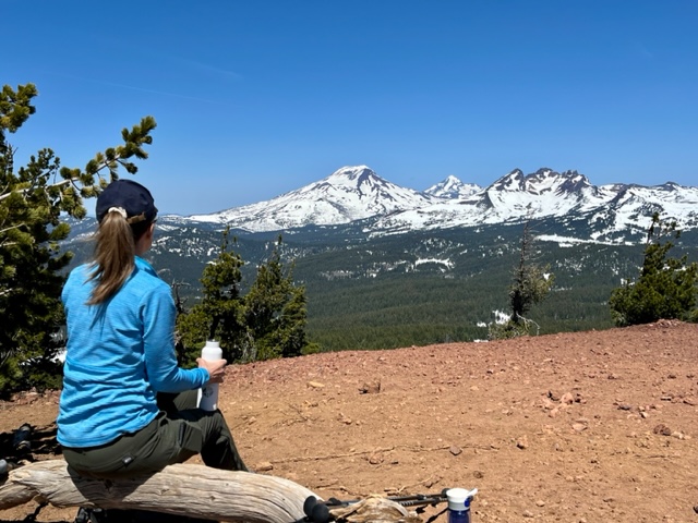
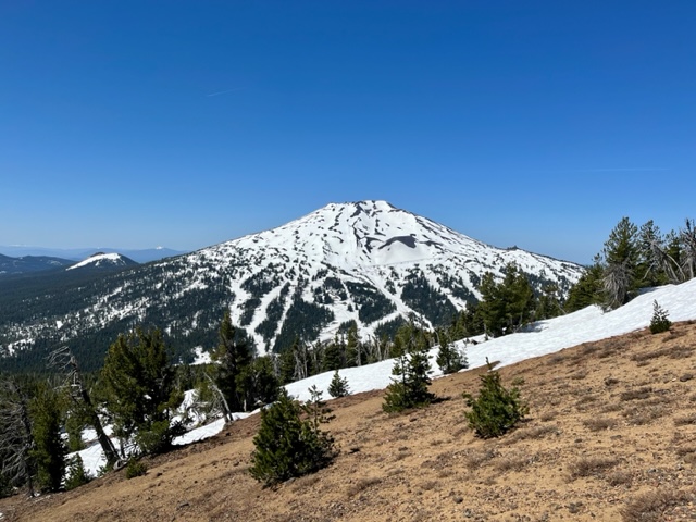
We typically hike Tumalo Mountain once a year - usually late spring/early summer once the snow melts. However, we have been anxious to get back into the Cascades after a winter of hiking in the High Desert and the opportunity to tackle Tumalo Mountain arose last Saturday. Tumalo Mountain, just north east of Mt. Bachelor, has a height of 7,779 feet. The hike up to its peak climbs over 1400 feet in two miles and is considered difficult due to its steepness. However, we have never attempted this hike with snow on the ground and found the trail challenging. The snow drifts were from 3 to 6 feet, although the snow was compacted and we managed with a GPS to somewhat follow the trail to the summit using trekking poles and micro spikes. Once reaching the summit, the views towards Mt Bachelor and towards the Three Sisters and Broken Top were outstanding. After enjoying the views and a quick lunch, the return trip had additional challenges as the snow softened with the warm weather. All in all, we saw only one other hiking couple and a pair of paragliders jumping from the peak on our return. It will be awhile before the snow fully melts in the Cascades after the winter storms. But in the meantime, we will take advantage of any hike we can access as soon as it becomes passible.
 |
 |
 |
 |
Privacy Policy / DMCA Notice / ADA Accessibility


